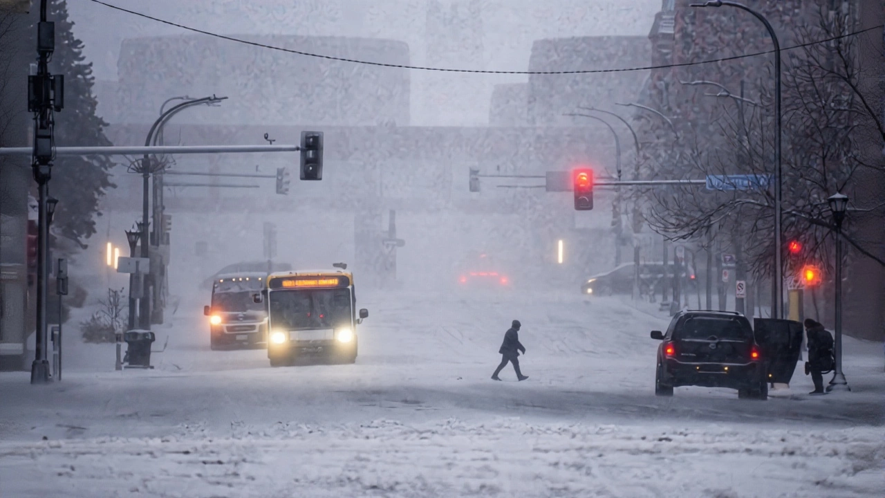
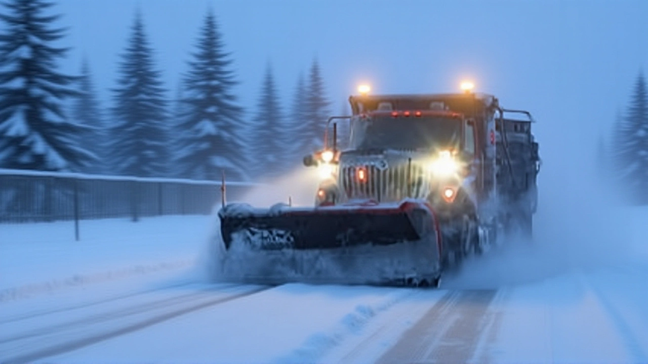
Just two days before Thanksgiving, Minnesota was buried under its first major winter storm of the season, turning morning commutes into treacherous crawls and stranding travelers at Minneapolis-St. Paul International Airport. By 5:30 a.m. on Wednesday, November 26, 2025, snow still fell across the Twin Cities metro, icy roads glistened under streetlights, and crews worked through the night to clear highways like I-94 at Rodeo Drive in Woodbury. The storm—precipitation that began as rain before switching to snow late Tuesday night—left behind a messy, uneven blanket of snow, with some areas getting barely enough to dust windshields and others buried under nearly a foot. And it wasn’t just Minnesota. Hawthorne, Wisconsin, just across the border, recorded a staggering 14 inches. For many families, the holiday weekend began not with stuffing turkeys, but with shoveling driveways and checking road closures.
What the Snowfall Numbers Really Mean
The National Weather Service measured 3.1 inches at the airport—enough to cancel flights and delay baggage handling, but not catastrophic. Yet numbers tell only part of the story. Shoreview, just north of the metro, got 4.5 inches. Duluth International Airport got more than triple that: 10.3 inches. And in the rural north, communities like Taft saw nearly 10 inches. The variation wasn’t random. It reflected how the storm’s core moved slowly, dumping heavier snow where the moisture lingered longest. Meanwhile, the west metro—areas like Chanhassen—didn’t see snow until after 9 p.m. Tuesday, catching many drivers off guard. "It felt like the storm was playing hopscotch," said Joseph Dames, WCCO NEXT Weather meteorologist, in his post-storm debrief. "Some places got the full punch. Others just got the tail end. And that’s what made it so confusing for travelers."
Travel Chaos and the Human Cost
A jackknifed semi-truck on a major highway near Woodbury shut down lanes for hours. At the airport, more than 120 flights were delayed or canceled by midday Wednesday. Families arriving for Thanksgiving gatherings were stranded in terminals, some with children already in pajamas, others clutching suitcases filled with pies and casseroles. "I drove here from La Crosse at 3 a.m.," said Linda Torres, a grandmother waiting for her flight. "I thought I’d be fine. Then I hit the patch of ice near the 35W ramp—and the car spun like a top. I sat there for 45 minutes, shaking." Schools across the metro issued delays or closures. Minneapolis Public Schools and St. Paul Public Schools both announced late starts, while districts in northern Minnesota, like those near Duluth, went fully remote. Road crews from Minnesota Department of Transportation worked through the night, deploying 450 plows and 300 salt trucks. "We knew this was coming," said one dispatcher on condition of anonymity. "But no one expected the ice layer underneath to be this thick. It’s like driving on glass."
Why This Storm Was Different
This wasn’t just the first snowstorm of the season—it was the first to hit right before a major holiday. That timing turned a routine winter event into a logistical nightmare. Last year, Minnesota’s first significant snowfall came in early December. The year before, it was mid-November—but nothing landed with this kind of punch on the eve of Thanksgiving. "We’ve had storms before," said Joseph Dames. "But this one had the perfect storm of timing, moisture, and temperature swing. Rain turned to snow just as people were heading home. That’s the real danger."
The storm also exposed gaps in regional coordination. While CBS Minnesota and FOX 9 Minneapolis-St. Paul provided continuous updates, some rural counties reported delays in receiving state road condition alerts. "We had no idea the snow was coming so fast," said a volunteer firefighter in Grand Rapids. "By the time we got the alert, our roads were already impassable."

What’s Next: The Lingering Cold
By midday Wednesday, the snow had stopped. But the danger hadn’t. Wind gusts of 25 to 35 mph kicked up blowing snow, reducing visibility on open stretches of highway. Temperatures hovered near 18°F, meaning any slush turned to ice overnight. The National Weather Service warned of black ice through Thursday morning—just as families were hitting the road for Thanksgiving dinners. "It’s not the snow you have to worry about," Dames added. "It’s what’s left behind." The cold snap is expected to continue. A second, weaker system is forecast to move through Saturday, bringing another dusting. But the real concern? A prolonged freeze. Temperatures are projected to stay below freezing for the next seven days. That means roads won’t fully thaw. Ice patches will linger. And for many, this won’t be the last winter headache of the season.
How Minnesota’s First Storm Compares
Historically, Minnesota’s first major snowstorm of the season arrives around November 20. This year, it was a week late—but more intense. In 2022, the first storm dropped 6.2 inches in the metro on November 17. In 2020, a November 15 storm brought 8.4 inches to Duluth. But none of those coincided with Thanksgiving. That’s the twist: this storm didn’t just disrupt travel—it disrupted tradition. Families who planned to drive instead of fly now had to rethink everything. Some canceled visits. Others booked last-minute flights out of Chicago or Milwaukee. "Thanksgiving used to mean road trips," said 68-year-old retiree Robert Kimball in St. Cloud. "Now it means checking the weather app every 20 minutes."
Frequently Asked Questions
How much snow did Minneapolis-St. Paul get, and how does it compare to past years?
Minneapolis-St. Paul International Airport recorded exactly 3.1 inches on November 26, 2025—slightly below the 10-year November average of 3.8 inches for the entire month. But this storm delivered most of it in under 12 hours, making it one of the most intense single-day November snowfalls since 2015. Last year’s first storm, in early December, dropped 5.9 inches over 36 hours.
Why was Duluth hit so much harder than the Twin Cities?
Duluth lies directly in the path of lake-effect snow from Lake Superior. As cold air swept across the relatively warmer lake waters, it picked up moisture and dumped it in heavy bursts over the North Shore. The Twin Cities, further south and inland, received less moisture and more of a slow, steady snowfall. That’s why Duluth got over 10 inches while the airport only saw 3.1.
What impact did the storm have on Thanksgiving travel?
Over 120 flights were canceled or delayed at MSP, and hundreds of drivers reported delays of 2+ hours on major highways. AAA reported a 35% drop in long-distance travel from Minnesota compared to the same period last year. Many families opted to host smaller gatherings or delay visits until the weekend. The storm directly affected an estimated 450,000 travelers across the state.
Were schools and businesses closed because of the storm?
Yes. Minneapolis and St. Paul public schools issued late starts. Over 60 school districts across northern and central Minnesota went fully remote. Many private employers, especially in logistics and healthcare, allowed flexible hours or remote work. The Minnesota Department of Transportation reported a 40% drop in weekday traffic volume on Wednesday compared to the previous Wednesday.
Is this an early sign of a harsh winter ahead?
Not necessarily. One storm doesn’t define a season. But this event aligns with a trend: Minnesota’s first major snowfall has been arriving later over the past decade, often in late November or early December. Still, the intensity of this storm—combined with the lingering freeze—suggests the state could face more extreme conditions. Forecasters are watching a potential Arctic blast next week.
What should drivers do if they’re still on the road after the snow stops?
Assume every shaded area, bridge, and overpass is icy—even if the sun is out. Drive slowly, avoid sudden braking, and keep a full tank of gas. The National Weather Service warns that black ice can form overnight when temperatures dip below freezing and moisture remains on pavement. Don’t rely on tire traction alone; winter tires are still the best defense.

